The Bighorn River
Simply Stated, the Bighorn River is an Anomaly.
Situated in a region of Montana where the fisheries primarily consist of warm water species such as crappie, smallmouth bass, catfish, walleye, sauger and northern pike, the Bighorn is recognized in serious trout fishing circles as one of the finest tailwater trout fisheries in the world. Originating in the Wind River Mountains of Wyoming, the river flows north through two major reservoir impoundments on it’s 460 mile journey to the confluence with the Yellowstone River east of Custer, Montana. At the town of Ft. Smith, Montana, the river is backed up by Yellowtail Dam forming the 70-mile long Bighorn Lake, which extends south into Wyoming.
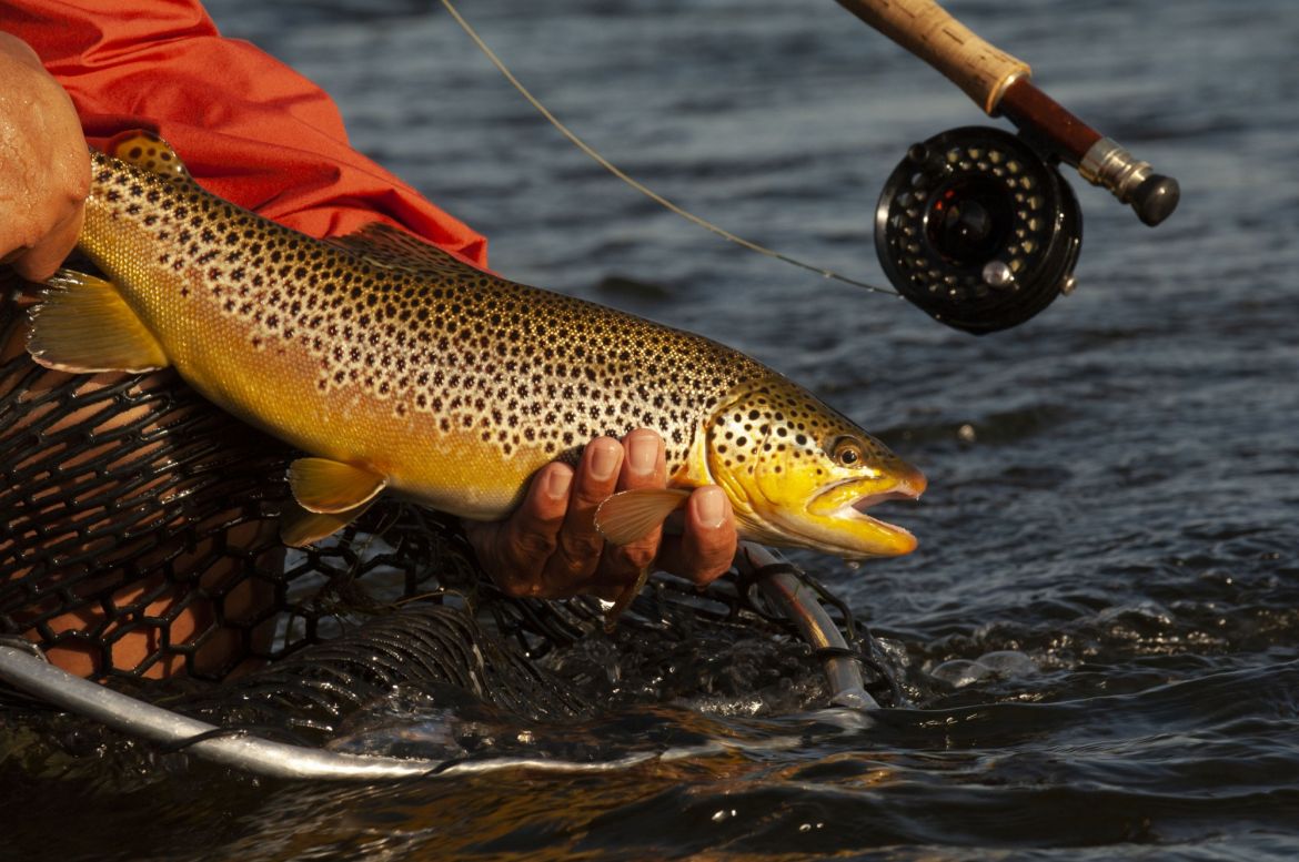
Yellowtail Dam was built in the 1960’s to create a hydro-electric, flood control and irrigation reservoir. As a beneficial by-product of Yellowtail Dam, the river downstream began a transition from a fishery dominated by warm-water species to the world-class trout fishery that exists today. The Bighorn river supports a self-sustaining population of wild brown and rainbow trout, with populations densities superior to almost every other trout stream in Montana. With a population dynamic of roughly 60% Browns and 40% rainbows, the upper stretches of the river are estimated to support as many as 6,000 trout per mile - almost twice that of Montana’s Madison River, which is considered one of the most prolific freestone trout streams on the planet.
 |
 |
 |
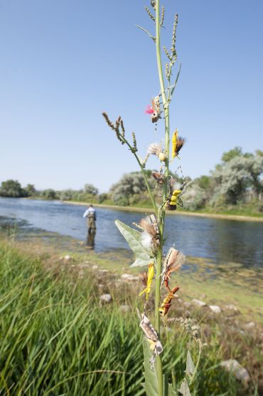
The Bighorn River is a tailwater fishery, that is, the river is released through a bottom-discharging dam, ensuring cold water flows in the summer and warmer water discharge in the winter. With a relatively stable year-round water temperature, the aquatic biomass - insects and fish in the river - tend to proliferate year-round. Average size of Bighorn trout is considered to be in the 14-16 inch range, with many fish running close to 20 inches, and the big fish being as large as 28 inches. The high alkalinity and consistent water temperature support a very diverse and prolific food base for trout, that consists of midges, various mayfly and caddis genus, one stonefly genus, crustaceans such as scuds and sow bugs, aquatic worms, leeches and minnow varieties. Terrestrial insects such as grasshoppers, beetles and ants are also important food items that are aggressively eaten by trout during the summer months. Insect hatches on the river are intense, in both size and duration, paralleling spring creek conditions
The river is open to angling all year, but April through October is considered prime time. The first hatches of the year are midges, followed by Blue-winged Olive and Pale Morning Dun mayflies, black and tan caddis, stoneflies, Tricorythodes mayflies, and ending with the Pseudocleon mayflies in the fall. With the abundance
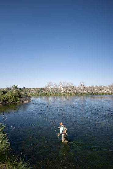
of available food, trout can be very selective at times, only feeding on one stage of an emergence, requiring the angler to be completely dialed in with regard to size, shape and color. On other occasions, trout feed opportunistically and will take a variety of fly presentations, including emerger, adult and spinner patterns, nymphs and streamers. Whether high-sticking riffle water with nymphs for opportunistic trout, fishing for selective surface feeders with emergers or duns, or throwing weighted streamer patterns into bank runs, the fly fisherman will find a variety of conditions to pursue trout while employing a multitude of skill sets and tactics. The 35-mile stretch of river downstream from Yellowtail Dam is considered the most prolific trout water, with the upper 13 miles receiving the vast majority of angling pressure. The lower part of the river has fewer fish per mile, but the trout tend to be bigger on average.
This lower portion of the river is characterized by deeper bank runs, riffles and pool tailouts, and numerous islands which create opportunities to fish side-channels. While the upper river runs clear year-round, the lower river can experience more fluctuating water levels and some occasional turbidity issues due to irrigation return. There are 5 fishing accesses on the 35-mile upper stretch of the river. The Royal Bighorn Lodge is located about 20 highway miles downstream from the Afterbay Fishing Access at Ft. Smith, 17 miles downstream of the Lind/3-Mile Fishing Access, and 8 miles from the Bighorn Fishing Access. The Mallards Landing and Two Leggins Fishing Accesses are downstream of the property. Strictly looking at river miles, the property is situated roughly 16 miles downstream of Yellowtail Dam.